Mar 18, 2024
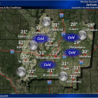
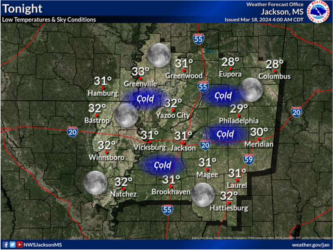
In the wake of a potent cold front that moved through the region on Sunday, temperatures are sitting well below average for mid-March. In fact, they should be around 67° but won’t make it past the mid-50s to start the week off. It is not uncommon to experience some colder temperatures in March, however, as today (Monday) marks the final day of astronomical winter.
TODAY AND TONIGHT
The remainder of the day will host an occasionally breezy north wind and scattered high clouds. Both the wind and clouds will taper off into the evening and overnight hours, clearing the way for temperatures to bottom out below freezing by daybreak Tuesday. Some fog is expected to form due to a cold and dry airmass over a (relatively) warmer and moist ground, along with light winds. Because the growing season has begun, the National Weather Service has issued a freeze warning for the threat of crops becoming damaged. As such, take any precautions like covering your plants to protect them.
WARMING THROUGH THE WORKWEEK
After a cold start to your Tuesday, a high-pressure ridge across the southern Great Plains will make for a calm and pleasant midweek. Tuesday will be sunny and dry with highs topping out around 60° so keep the jacket handy. You won’t need the extra layers by Wednesday afternoon, however, as we’ll jump from the upper 30s to low 70s throughout the day. Winds will be light out of the west on both days. On Thursday, winds will shift into a southeasterly flow, allowing for slowly increasing humidity, along with mostly cloudy skies. Temperatures will closely resemble Wednesday’s highs. A shortwave trough (which simply means a small, quick-moving disturbance) will slide through the Deep South overnight Thursday and into the day on Friday. This will usher in the chance for at least scattered showers and perhaps a clap of thunder. A washout or any severe weather is not expected with this system. Friday will be slightly cooler sitting in the mid-60s, and then we add a couple of degrees to both Saturday and Sunday, which will make for a gorgeous weekend under mostly sunny skies.
WET END TO MARCH?
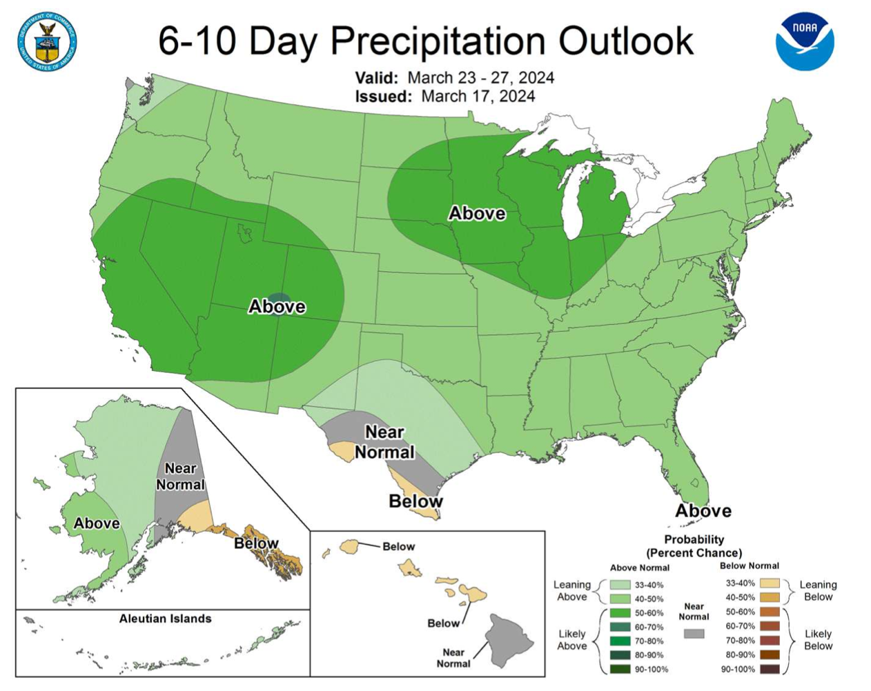
Looking ahead, indications are that next week will likely be a somewhat wet week. The Climate Prediction Center (CPC) has nearly the entirety of the lower 48 highlighted in an area of “likely-to- see” above-average precipitation for the Saturday-Wednesday period.
Some models are leaning toward the possibility of a strong system sweeping across the U.S., which would impact Mississippi on Monday and/or Tuesday. We are entering the most active period for severe weather, so it is nothing unusual but something to be monitored.