Mar 4, 2024
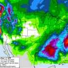
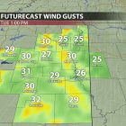
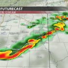
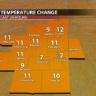
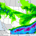
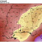
After a brief cooldown at the end of last week, spring-like weather has returned to Northeast Mississippi. With highs in the 70’s (above average for this time of year) and rain scattered throughout the workweek, this week’s weather will feel much more like early spring than late winter. That being said, while astronomical winter still has about two more weeks left, meteorological spring began on Friday. “What’s the difference?”, you may ask, the date of astronomical spring is determined by the earth’s position in its orbit around the sun. The date of the spring equinox can change annually depending on when the sun is directly over the equator. Meteorological spring, on the other hand, is marked by the transition from cooler temperatures to warmer temperatures and is always from March 1 through May 31. FORECAST FOR THE WORK WEEK Tonight into Tuesday morning, rain chances will increase steadily as a broad area of rain out front of a cold front in the Great Plains moves into our area. The cold front itself will not pass through Northeast Mississippi until Wednesday, but the rain will impact us much earlier. The highest rain chances for Tuesday look to be between 5 AM and 3 PM, but some showers could hang around overnight into early Wednesday morning. Tuesday’s high is expected to be around 71 with a low of 57. Conditions look much clearer for Wednesday as higher pressure moves into the areafollowing the frontal passage. The front will not have much of an impact on our temperatures aswe are expected to hit our warmest high temperature of the week, near 76⁰, with a low around52⁰. We should see mostly sunny skies and calm to light winds on Wednesday.The dry weather should remain in place for most of Thursday as well with a slight chancefor some showers in the afternoon. Thursday’s high should be in the mid 70’s with a low in theupper 50’s. The dry weather should remain in place for most of Thursday with a slight chance for some showers in the afternoon. Thursday’s high should be in the mid 70’s with a low in the upper 50’s. The chance for rain will increase drastically overnight...

